Catatan proyek
Sistem Telemetering Level Air
Menjelaskan pengumpulan data level air berbasis sensor, peringatan perubahan level, dan akses data melalui web serta perangkat mobile.
- Water level
- Telemetering
- Jenis
- Catatan proyek
- Terbit
- 22 Mei 2025
- Diperbarui
- 27 Mei 2025
- Waktu baca
- 1 menit
- Gambar
- 2
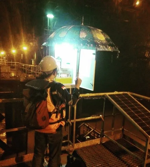
The Water Level Telemetering System is designed to monitor real-time water level data from rivers and other water sources. This system helps in water resource management and flood risk mitigation by providing accurate and accessible data at all times.
Real-time water level monitoring
Continuously tracks water levels in real time, allowing users to stay updated with the latest conditions without delay.
Automated sensor-based data collection
Utilizes automated sensors to accurately collect water level data without manual intervention, enhancing efficiency and system reliability.
Alerts and early warnings for significant changes
Provides automatic alerts and early warnings in case of sudden or critical water level changes, supporting timely response and flood risk mitigation.
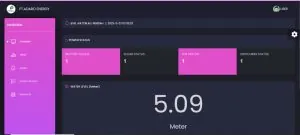
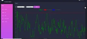
Accessible data via web and mobile platforms
Enables easy access to water level data through web portals and mobile applications, allowing users to monitor conditions anytime, anywhere.
Gambar
Langkah berikutnya
Bahas kebutuhan serupa di fasilitas Anda.
Ceritakan perangkat dan prosesnya. Tim Citia menjawab dengan konteks teknis.