Project note
Water Level Telemetering System
Describes sensor-based water level data collection, level-change alerts and data access through web and mobile platforms.
- Water level
- Telemetering
- Type
- Project note
- Published
- 22 May 2025
- Updated
- 27 May 2025
- Reading time
- 1 min
- Pictures
- 2
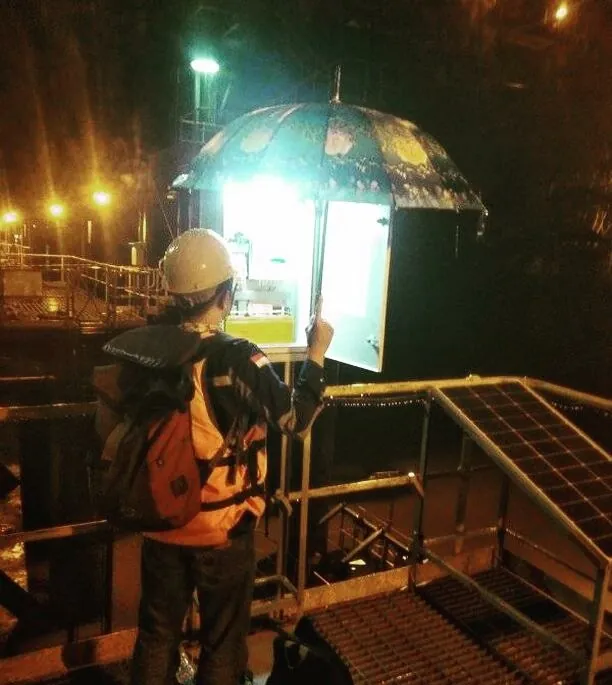
The Water Level Telemetering System is designed to monitor real-time water level data from rivers and other water sources. This system helps in water resource management and flood risk mitigation by providing accurate and accessible data at all times.
Real-time water level monitoring
Continuously tracks water levels in real time, allowing users to stay updated with the latest conditions without delay.
Automated sensor-based data collection
Utilizes automated sensors to accurately collect water level data without manual intervention, enhancing efficiency and system reliability.
Alerts and early warnings for significant changes
Provides automatic alerts and early warnings in case of sudden or critical water level changes, supporting timely response and flood risk mitigation.
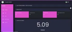
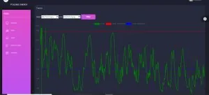
Accessible data via web and mobile platforms
Enables easy access to water level data through web portals and mobile applications, allowing users to monitor conditions anytime, anywhere.
Pictures
Next step
Discuss a similar need at your facility.
Tell us about the equipment and the process. The Citia team answers with technical context.